Elevations
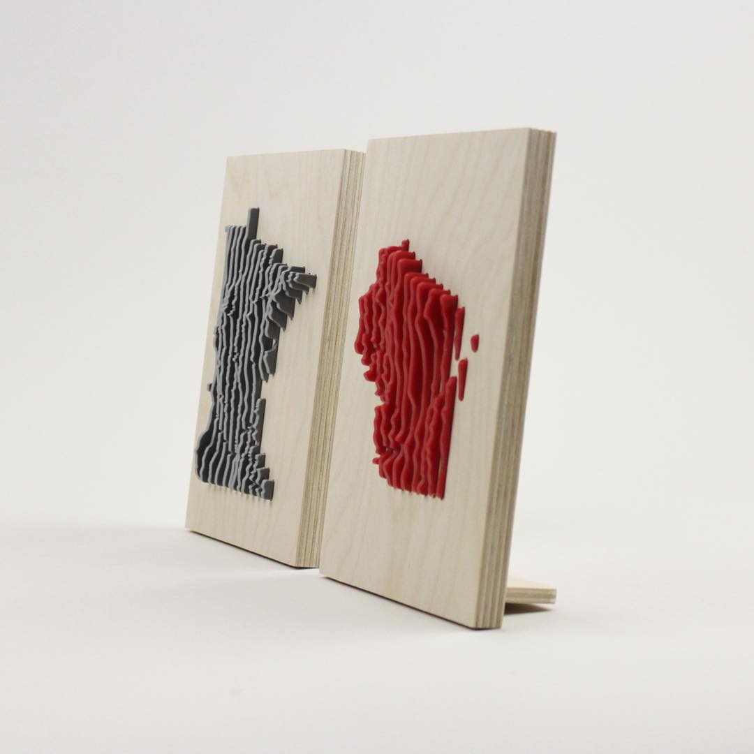
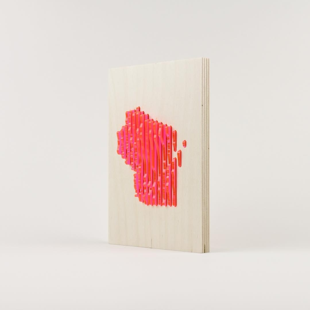
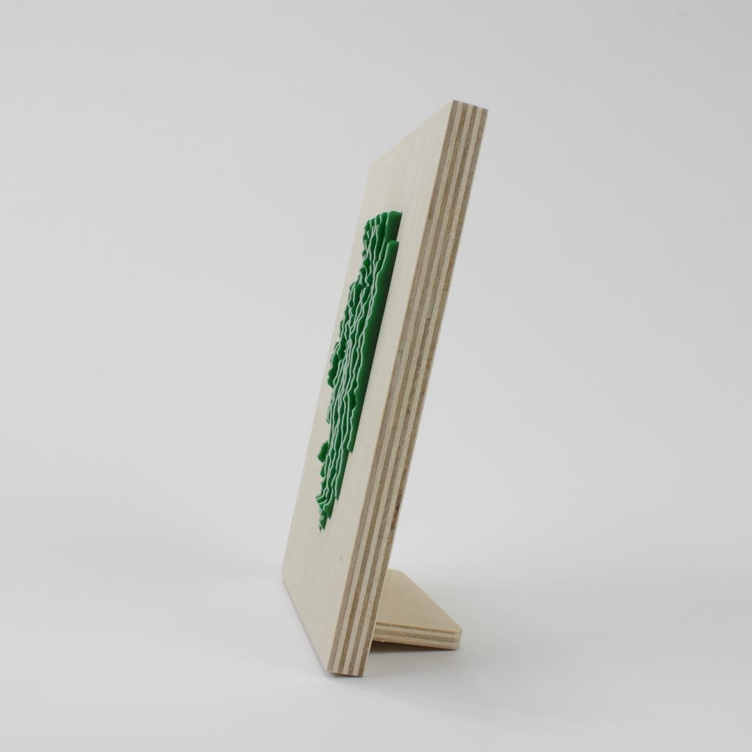
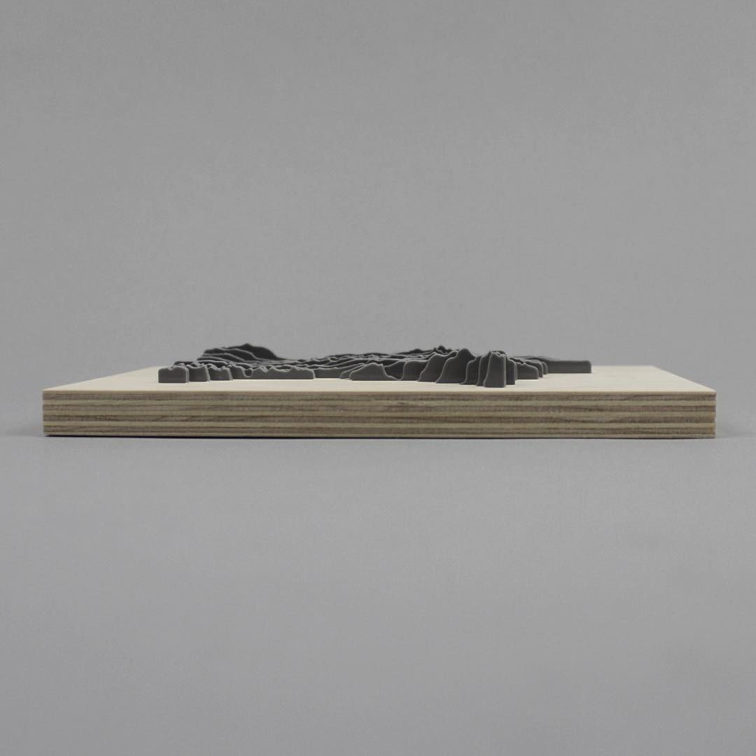
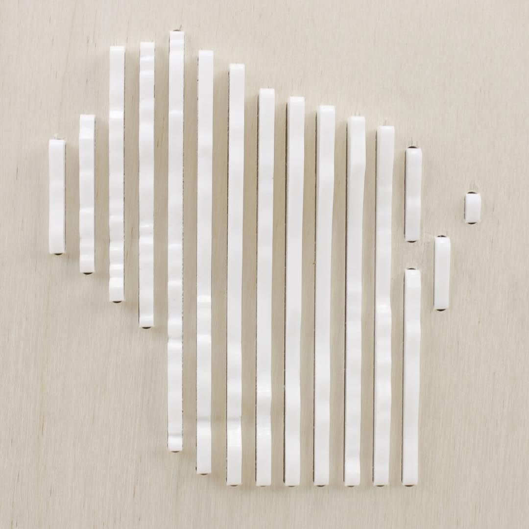
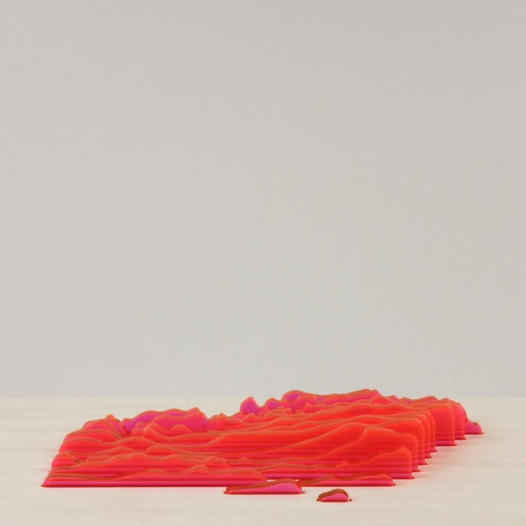
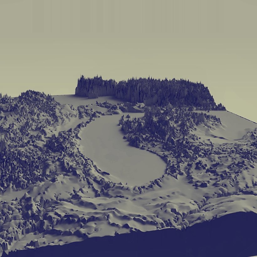
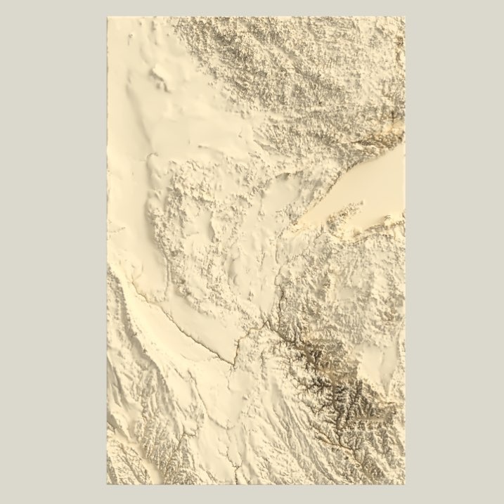
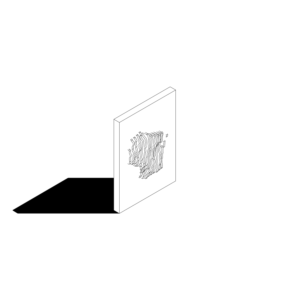
Elevations started as a run of experiments I was calling Intersections, made alongside the Elevations Clock. They represented States mapped with their terrain in three dimensions for dramatic effect. Each one starts from real topographic data, exaggerated on the vertical axis until the landscape reads, then sliced into a row of bars. The bars are acrylic pressed into a Baltic birch panel, 5 by 7 inches, with a small foot so it stands on a shelf and a keyhole for wall hanging. Wisconsin came first. Minnesota, Michigan, and Illinois followed.
Making it
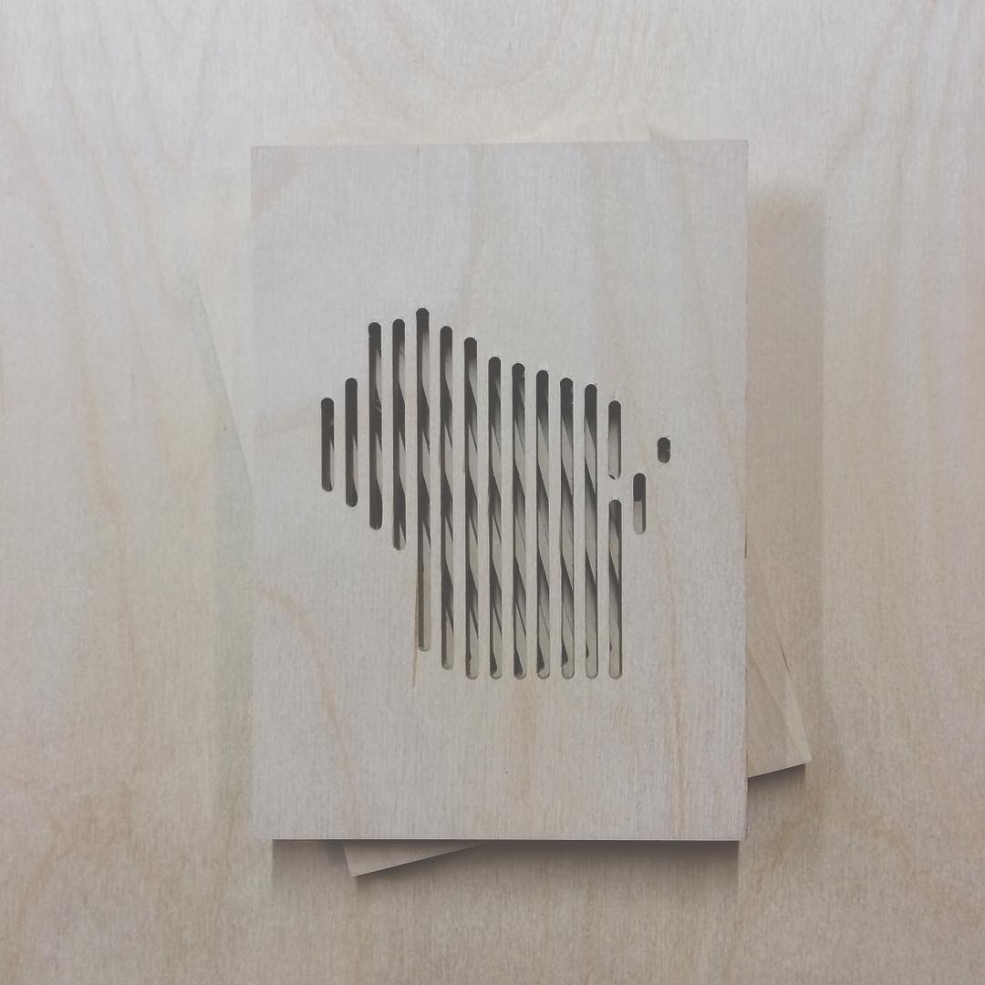
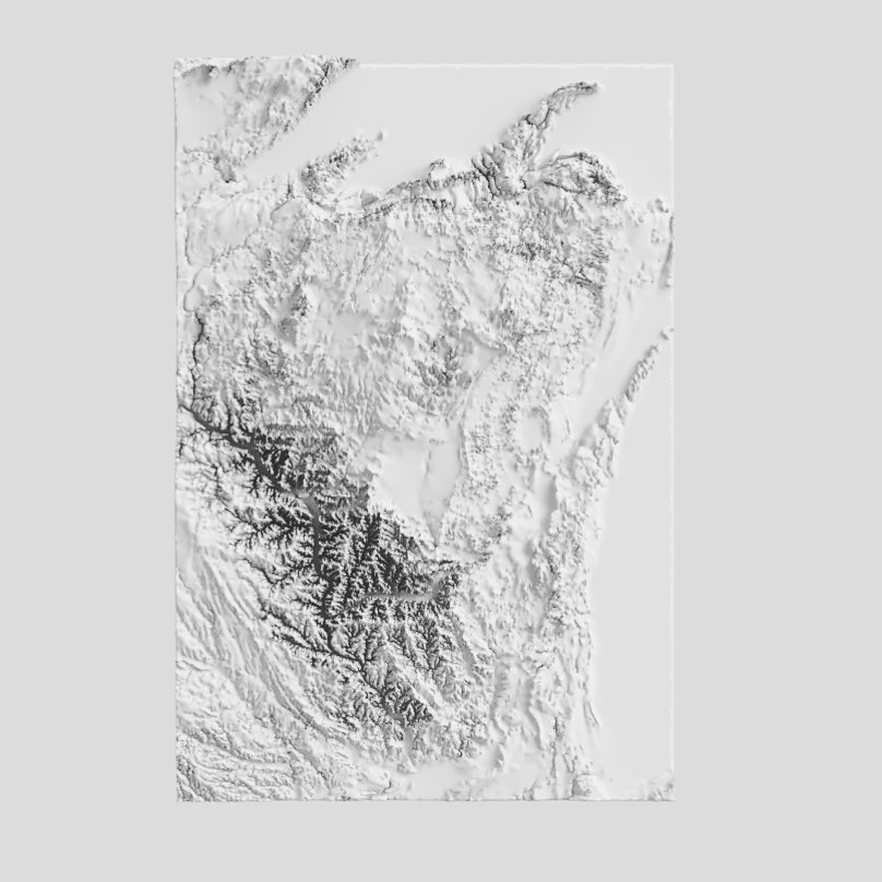
The topographic data is brought into Fusion 360, where the vertical gets pushed until the ridges and river valleys separate. That surface is cut into bars, one per slice, each a different height. The bars are laser cut from acrylic, the panel gets matching slots, and the bars press in.
Gallery